Overview
Built on the foundation of our surveying services we can support an extensive range of project types across the United States. Our deep knowledge of technology solutions allows us to capture large amounts of data in extreme conditions. Our clients always receive reliable geospatial data at the level of accuracy needed.
50
States Providing Services
1000's
Acres Flown
100%
Clients Satisfied
Key Services
Ground based 3D scanning
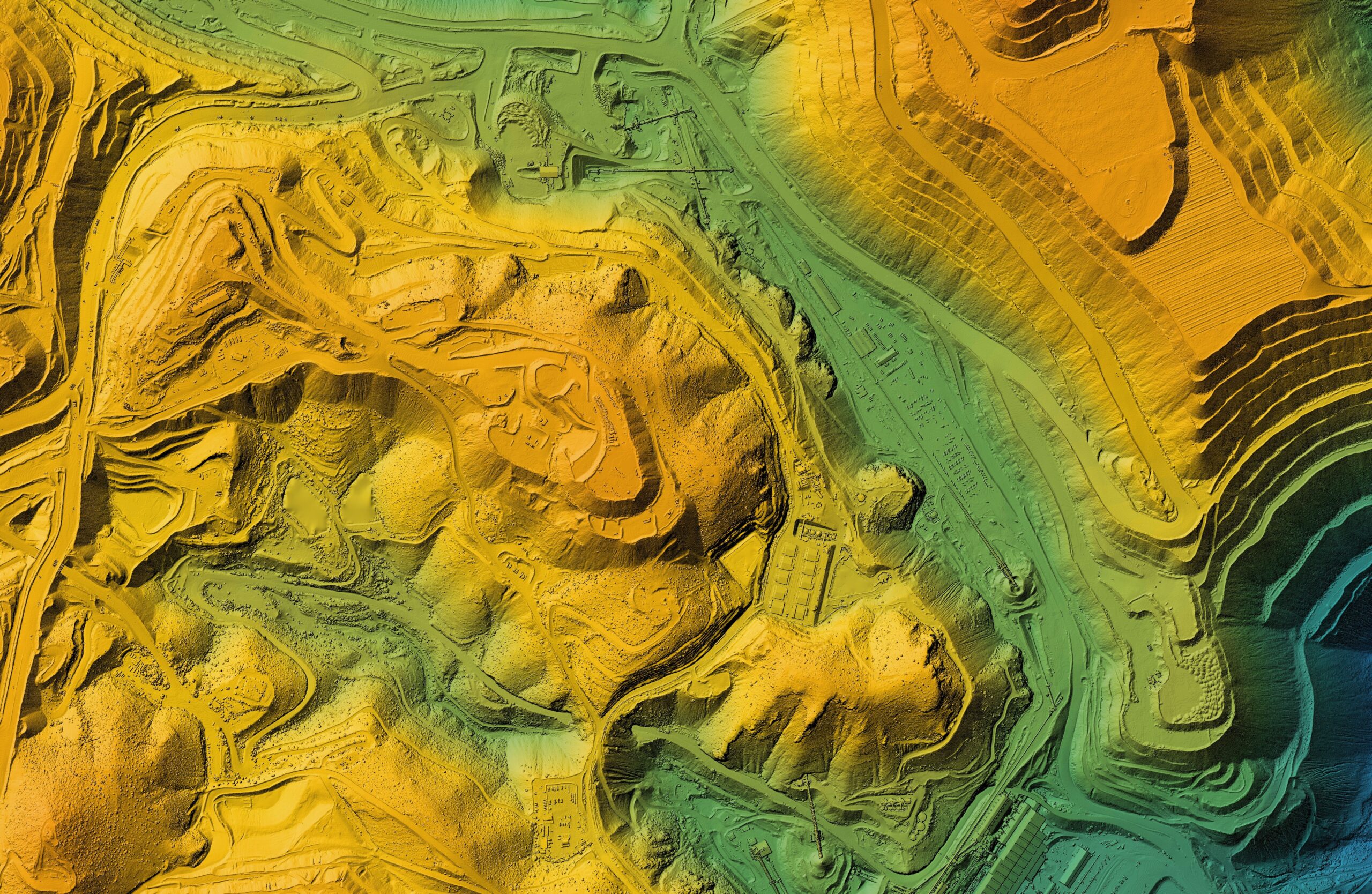
Aerial imagery/lidar acquisition
Photogrammetric mapping
Infrastructure asset inventory
GIS database design/model
UAS/Drone services
Oil and gas asset mapping
Power transmission mapping
Emergency response mapping
GIS/GNSS integration
Marine/bathymetric mapping
Heritage preservation modeling